This category is sponsored by Datascape, Powered by Datacom

This category recognises innovative use of digital and technology solutions that transform services, strengthen democratic participation, and improve outcomes for communities. This includes initiatives that enhance accessibility, streamline processes, or enable better decision-making through data and technology. Entries should demonstrate clear impact, with insights and learnings that can be applied by other local authorities.
Winner
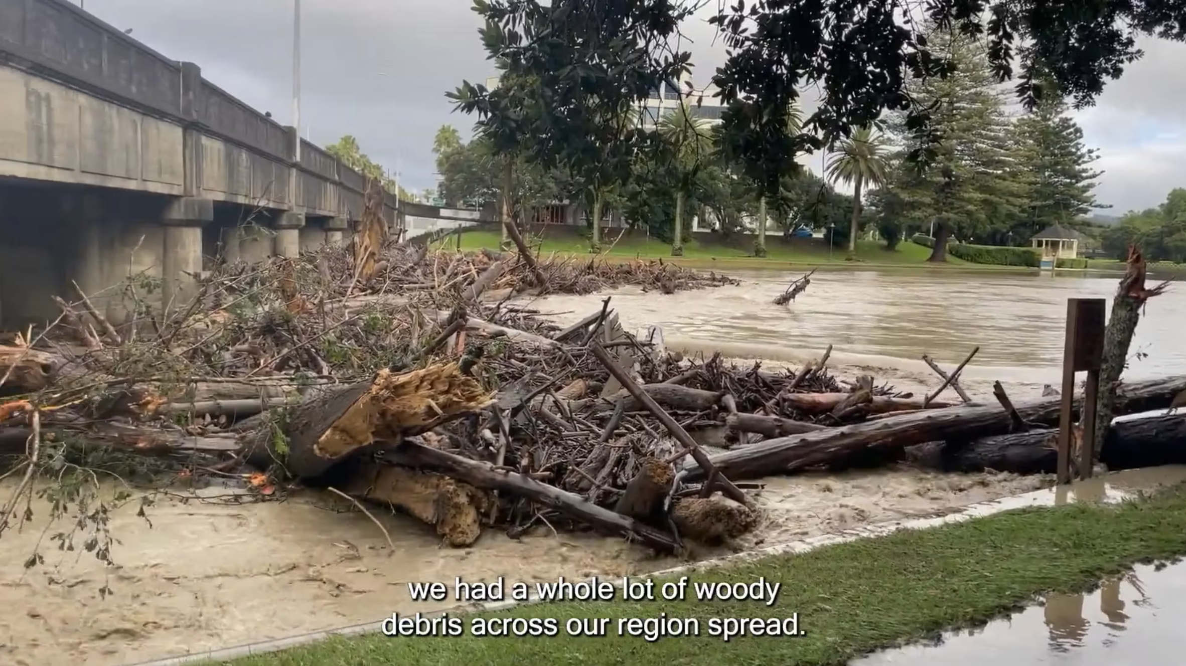
Turning The Tide Large Woody Debris
AI-assisted Removal
Te Kaunihera o Te Tairāwhiti - Gisborne District Council
Tairāwhiti developed an AI-assisted system to manage large woody debris (LWD) after severe weather and Cyclone Gabrielle. Using aerial and drone imagery with a Multi-Criteria Assessment, the programme prioritises risks, directs resources efficiently, and protects infrastructure and communities. Over 600,000 m³ of debris has been removed from rivers and beaches, safeguarding transport routes, water systems, farmland, and coastal areas.
Watch entryTairāwhiti developed an AI-assisted system to manage large woody debris (LWD) after severe weather and Cyclone Gabrielle. Using aerial and drone imagery with a Multi-Criteria Assessment, the programme prioritises risks, directs resources efficiently, and protects infrastructure and communities. Over 600,000 m³ of debris has been removed from rivers and beaches, safeguarding transport routes, water systems, farmland, and coastal areas.
Digital Twin
Hamilton City Council
Hamilton City Council’s Digital Twin is a city-scale 3D replica that makes complex planning and infrastructure visible and accessible. Built in-house, it enables faster decisions, clearer community engagement, and scenario testing for housing, transport, and climate challenges. It halves internal discussion time, boosts transparency, and supports planning, policy, and governance—showing that scalable, cost-efficient digital engagement strengthens inclusive, informed decision-making.
Watch entryHamilton City Council’s Digital Twin is a city-scale 3D replica that makes complex planning and infrastructure visible and accessible. Built in-house, it enables faster decisions, clearer community engagement, and scenario testing for housing, transport, and climate challenges. It halves internal discussion time, boosts transparency, and supports planning, policy, and governance—showing that scalable, cost-efficient digital engagement strengthens inclusive, informed decision-making.

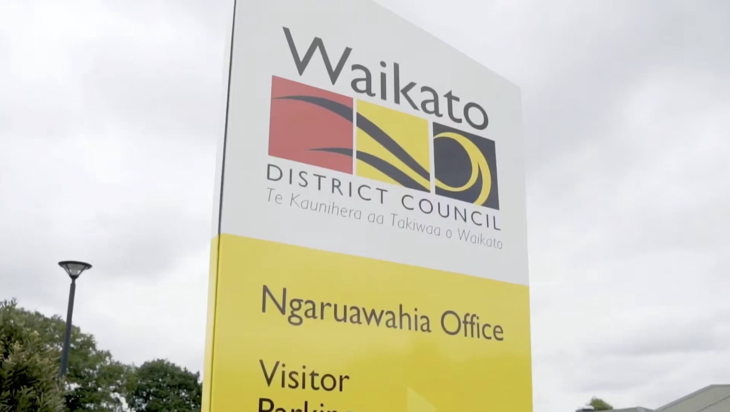
P2B2 (Plan to build together)
Waikato District Council
P2B2 – Plan to Build Together, Waikato District Council’s digital transformation of planning and building, simplifies customer interactions with online district plans, lodgement, tracking, and real-time system integration. Automation reduces delays and duplication, while transparency and multi-window navigation improve understanding. The programme delivers operational savings (~$536k p.a.) and transferable digital blueprints for other councils.
Watch entryP2B2 – Plan to Build Together, Waikato District Council’s digital transformation of planning and building, simplifies customer interactions with online district plans, lodgement, tracking, and real-time system integration. Automation reduces delays and duplication, while transparency and multi-window navigation improve understanding. The programme delivers operational savings (~$536k p.a.) and transferable digital blueprints for other councils.
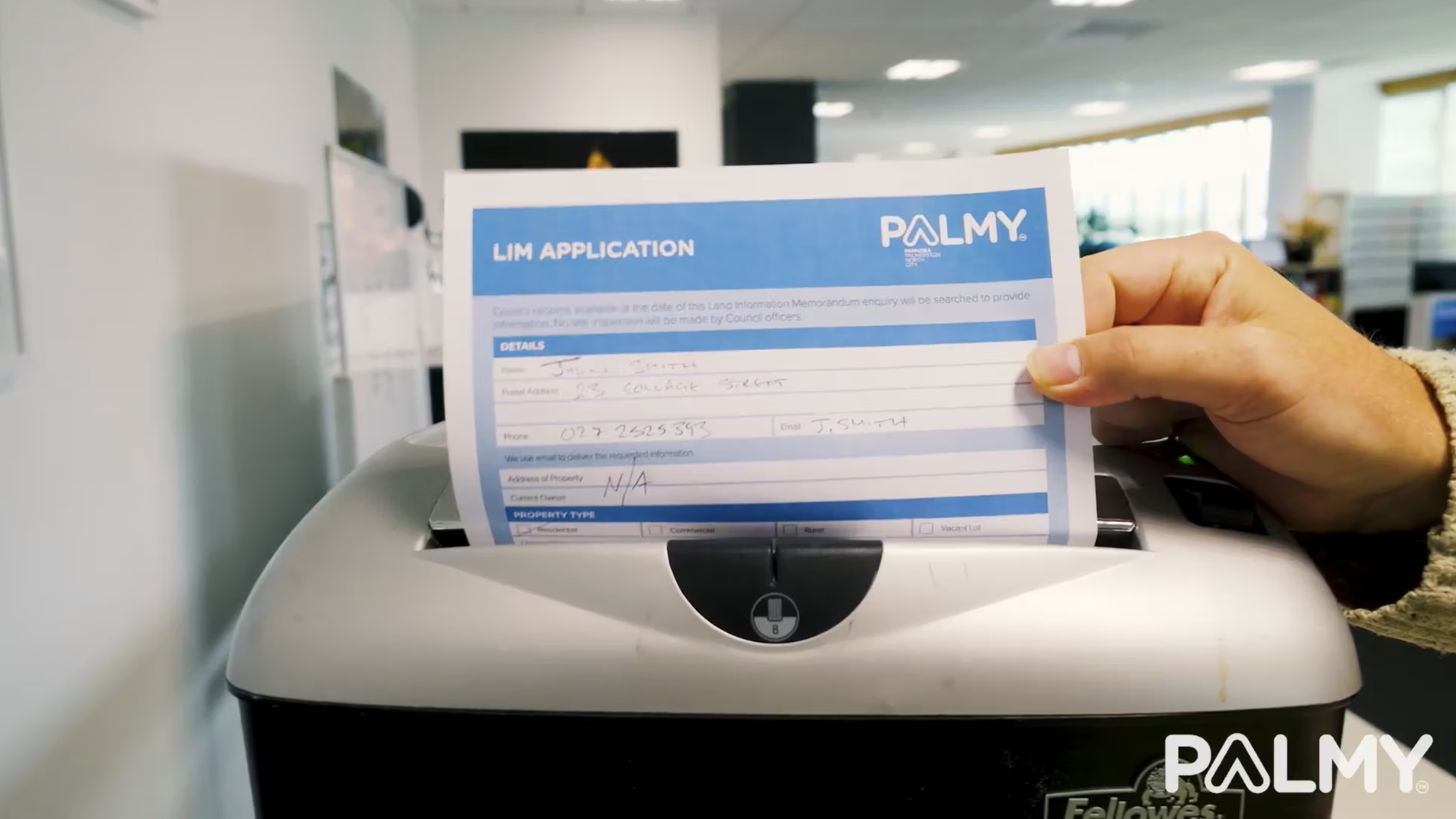
Re-Imagining the LIMs Process
Palmerston North City Council
Palmerston North City Council transformed its LIM process from a fragmented manual workflow into a secure, digital-first service built in-house. Customers can now search properties, view details, pay online, and get fast, automated data collection. What once took days now happens in minutes, improving turnaround, embedding compliance, and providing faster certainty, clearer hazard info, and smoother property settlements for buyers and the community.
Watch entryPalmerston North City Council transformed its LIM process from a fragmented manual workflow into a secure, digital-first service built in-house. Customers can now search properties, view details, pay online, and get fast, automated data collection. What once took days now happens in minutes, improving turnaround, embedding compliance, and providing faster certainty, clearer hazard info, and smoother property settlements for buyers and the community.
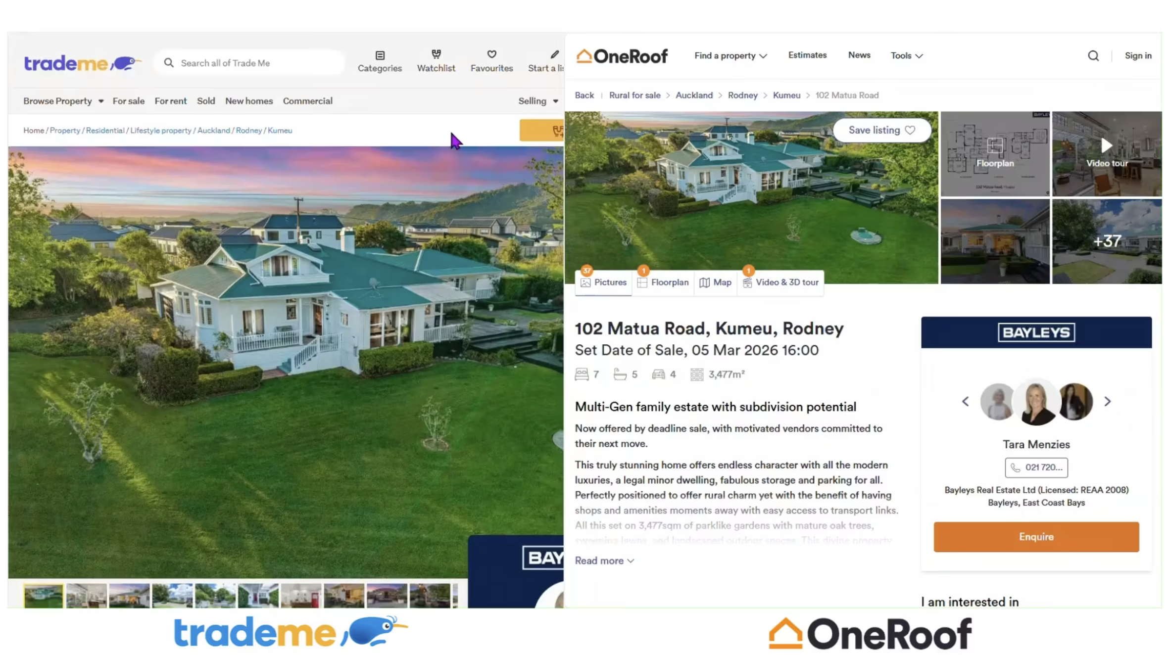
Trade Me/OneRoof Open Data Collaboration - Flood plain mapping project
Auckland Council
Auckland Council expanded its GIS Open Data Portal from 5 to 235+ datasets, making geospatial data more accessible and valuable. Partnerships with TradeMe and OneRoof now embed flood hazard, planning, and utility data directly into property listings, helping Aucklanders make informed decisions. This initiative extends council data beyond internal tools, delivering real-world impact and demonstrating the power of open data at scale.
Watch entryAuckland Council expanded its GIS Open Data Portal from 5 to 235+ datasets, making geospatial data more accessible and valuable. Partnerships with TradeMe and OneRoof now embed flood hazard, planning, and utility data directly into property listings, helping Aucklanders make informed decisions. This initiative extends council data beyond internal tools, delivering real-world impact and demonstrating the power of open data at scale.